

Projects
Here's just a small sampling of the kind of mapping projects we’ve provided for our clients.
Non-Profit Support
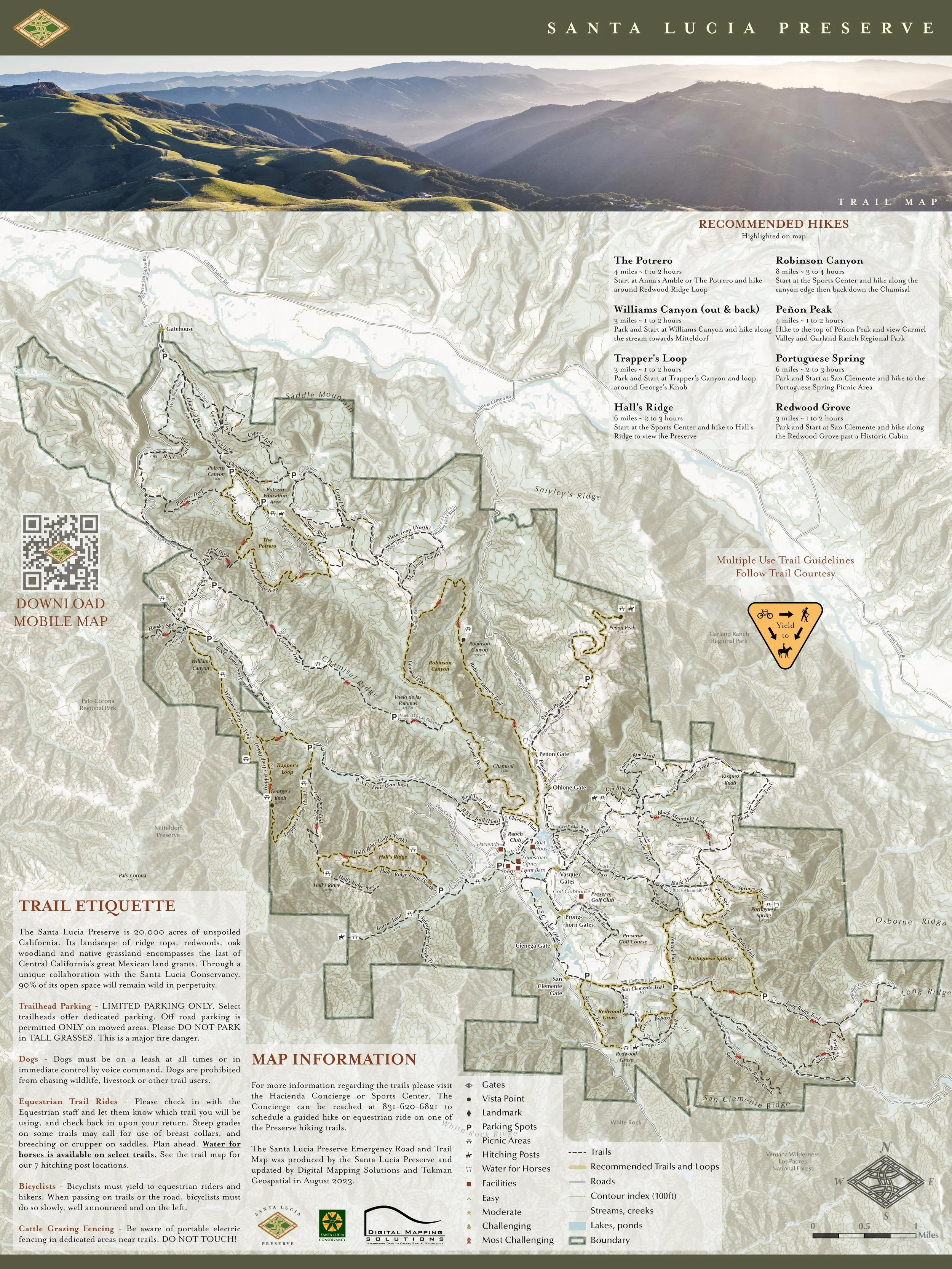
Full GIS, spatial data administration, and cartographic support for non-profits. Many non-profits do not have the capacity, nor the need, for a full-time GIS professional on their staff. Allow Digital Mapping Solutions, Inc to fill that need for your organization. We’ve worked with many non-profits throughout California and beyond. Contact us today for a quote.
Printed/Poster Maps
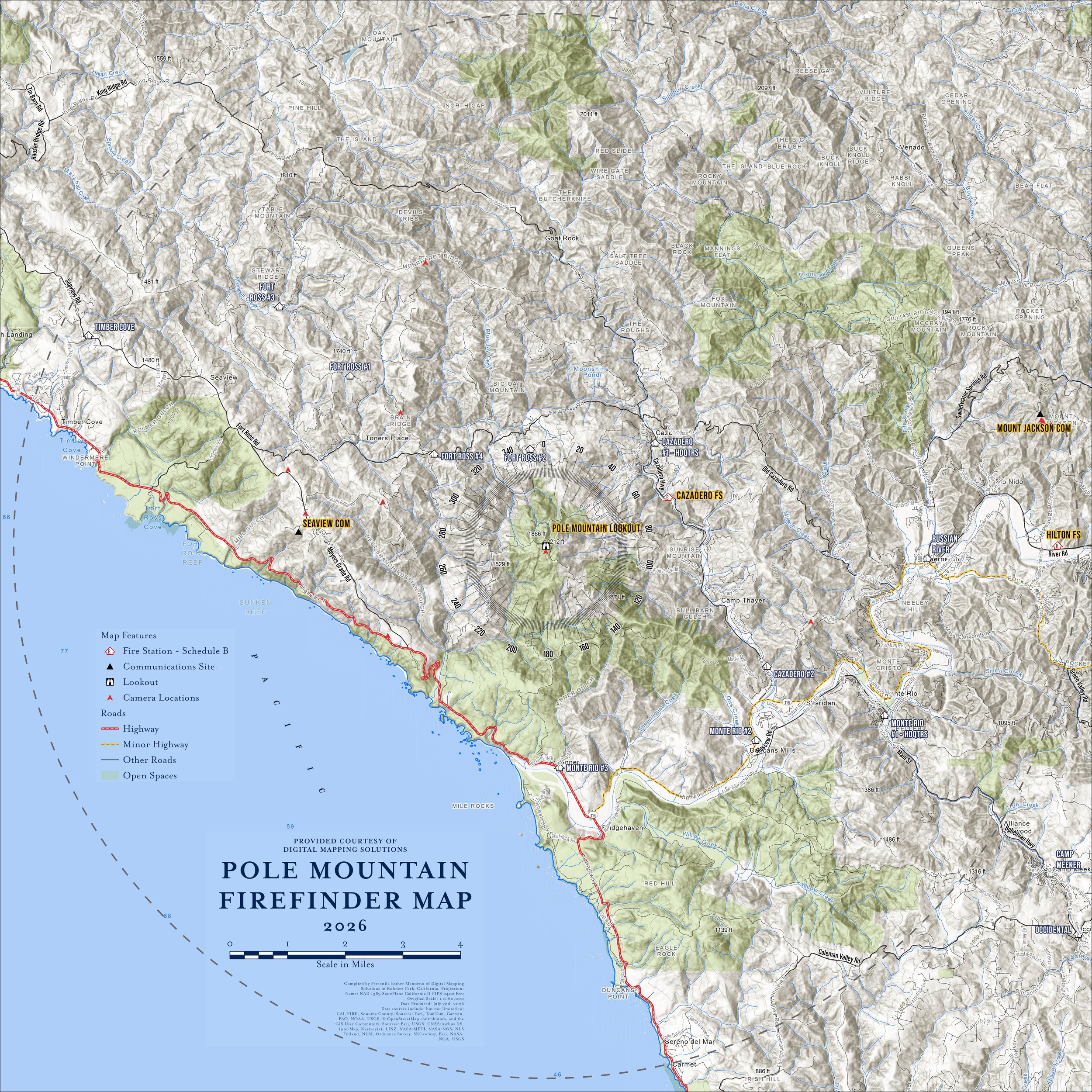
If you have a need for GIS-based cartographic maps for public distribution or presentation, we’ve worked closely with many state, county, and local agencies to meet these needs. Our rates are reasonable and we’ll provide as many as drafts are needed until the product meets your requirements.
Fire Behavior Modeling
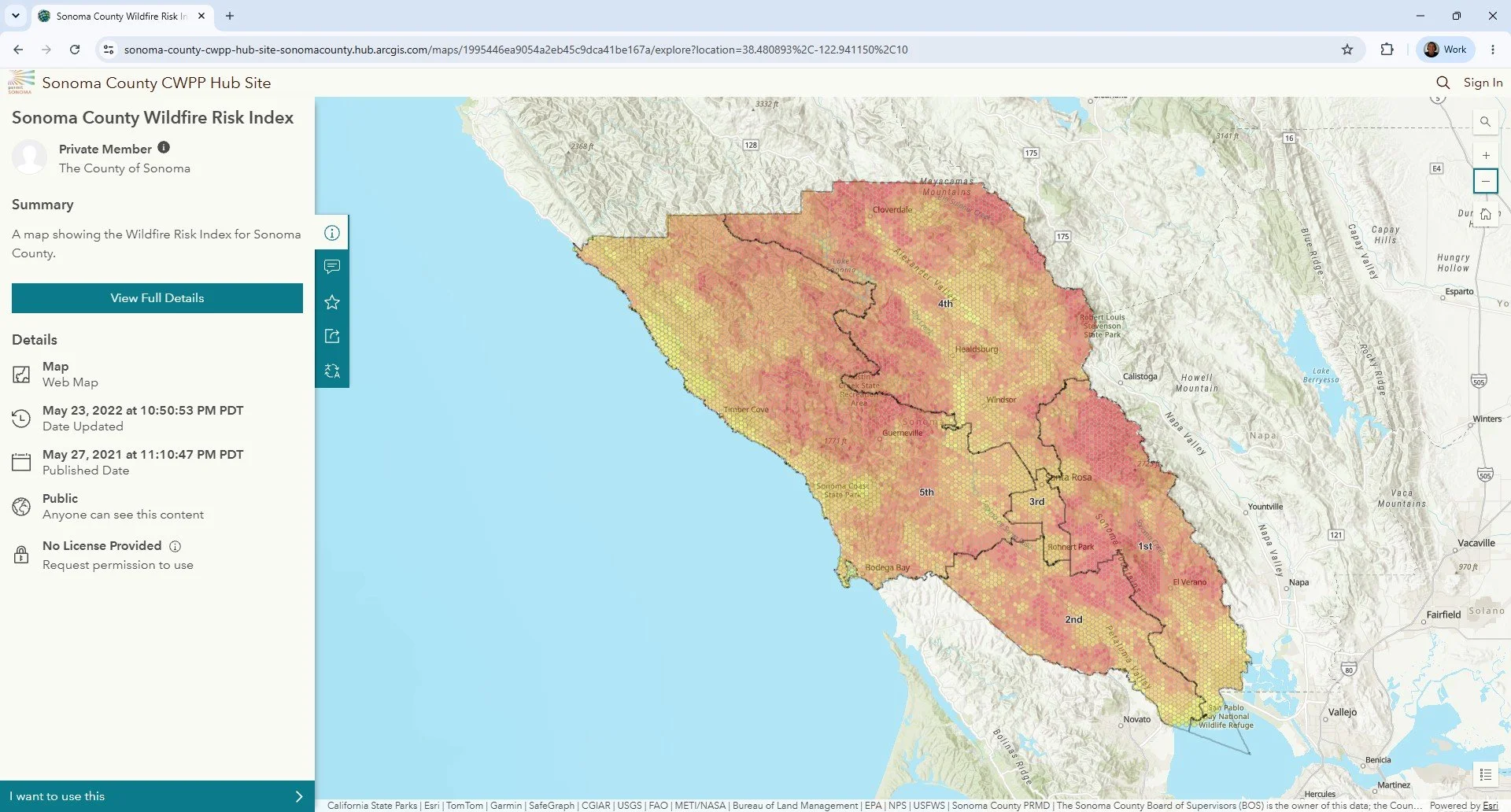
With over 25 years of experience in fire ecology and fire behavior modeling, allow Digital Mapping Solutions to develop your wildland fire products. From direct fire behavior outputs to weather data analysis, we can help guide your landscape assessments.